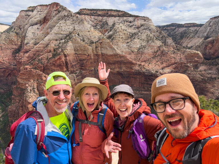

The 5 Best Hiking Trails in Ogden, Utah (According to Locals)
We love hiking. We love the mountains. We love hiking in the mountains. Which is why we moved to Northern Utah almost two years ago; so we could hike in the mountains to our hearts’ content. Naturally, we quickly discovered the best places to lace up our boots nearby. So if you’re in the area, here are the best hiking trails in Ogden (in our humble opinion).

Ice Box Canyon + Wheeler Creek: 5.1 Miles
One of the very first hikes we went on after moving to the area, this one quickly became one of our faves. In the fall, the trees explode with color. In the late spring/early summer, yellow wildflowers abound. In the summer there’s enough shade on portions of the trail to offer respite from the sun and in the winter we love snowshoeing after fresh powder or bringing microspikes for our boots so we can explore the snowy landscape.
It’s a moderate hike–not too hard or terribly easy–and features a few lengthy, steady uphills and downhills, but plenty of it is more rolling in nature. A solid half or more is in full sun, but there is a creek along the shady portion of the trail in the canyon that’s perfect for filtering water to refill bottles or cooling your feet. We love starting from the Wheeler Creek trailhead at the bottom (near Pineview Reservoir) and working our way all the way up and around the lollipop, but the small parking lot can fill up on weekends. Alternatively, you can shave off almost 2 miles by starting at the Art Nord Trailhead at the top and just doing Icebox Loop, which involves less climbing.

Ben Lomond: 10 Miles
Craving a summit day? Not afraid of logging some miles? Tackle Ben Lomond in North Ogden. There are a couple of routes to choose from based on your preferences, but either one offers spectacular view of Ogden Valley and Ogden City, plus miles of the Wasatch Range, including nearby Willard Peak, which is a touch taller. Wildflowers abound on the route in the spring, but there’s minimal shade, so it can be hot in the summer. In the winter, mountaineering experience is highly recommended as some sections are steep and can be dangerous. But in fairer seasons, it’s a marvelous hike with an impressive payoff.
We tend to prefer the route from North Fork Park that starts at the Muleshoe Trailhead and leads you up Cutler’s Twist then Cutler Basin Trail to the summit. Sections are steep and challenging, and the hike is definitely hard, but the trail is shorter overall at around 10 miles. You can also start at the North Ogden Divide Trailhead. That route is just shy of 16 miles, but ascends more gradually, so isn’t as taxing, and once you reach the ridge it’s fairly level until the climb to the peak. Either way, be prepared with plenty of water and snacks because it’s gonna be a big day!

Waterfall Canyon Trail: 3.3 Miles
On a hot day, nothing beats a hike to a waterfall. And we love this one up Waterfall Canyon Trail. It may be steep, rocky and challenging, but the views are lovely, wild thimbleberries abound in early July, and once you reach the top, the waterfall is impressive and the cool mist and small pools it creates offer a stellar place to rest, kick off your shoes and cool your feet (or your whole body). It’s a popular route spring through fall, but we love it in the winter, too, when parts of the falls freeze. Just don’t forget spikes or traction devices as it will be dangerously slick, especially on the steep rocks at the top. In the spring and early summer, expect to get your feet wet as the creek that runs down the canyon can swell to take up the whole trail.
There are a few options for getting to the waterfall, but perhaps the best starting point is from 36th Street Trailhead. You’ll climb gradually in the shade, hike up part of Strongs Canyon, which is usually a shallow rocky creek, before hopping on the wide open and picturesque Bonneville Shoreline Trail until you reach the canyon, at which point you start hiking up the steep and rocky Waterfall Canyon Trail. You can cut the trail a bit shorter for a total roundtrip of 2.4 miles by starting at 29th Street Trailhead, but the first section is wide, sunny, steep and less interesting.

Ogden Canyon Overlook Trail (Sardine): 5.4 Miles
Located at Snowbasin Ski Resort, which is open all summer for hiking and mountain biking, plus for events like concerts on the weekends, the Ogden Canyon Overlook Trail is a treat in every season. After a snow it’s practically magical (and there’s little danger of avalanches and none of it is exposed or that steep), in the late spring yellow wildflowers are everywhere, much of the trail is shaded so it’s more pleasant in the summer, and in fall the thousands of aspen trees really make a spectacular show of it. Plus, once you reach the overlook, you can enjoy expansive views of Ogden and surrounding cities, the Great Salt Lake, and mountain ranges beyond.
Start at the Maple Trailhead in the back corner of the last parking lot at Snowbasin (parking is free) then take Wheeler Creek Trail to Ogden Canyon Overlook/Sardine Peak Trail. A sign will tell you when you’ve reached the off-shoot to the lookout trail and the overlook. Remember that you’ll be sharing the trail with mountain bikers as it’s a popular riding route, but most ride all the way up to Sardine Peak and then down the other side, which is why we prefer this hike as an out-and-back as opposed to a loop: you can avoid bikers cruising downhill fast on the other side. The hike is all up on the way out and all down on the way back, but it’s gradual enough to feel like a moderate hike, not a super challenging one.
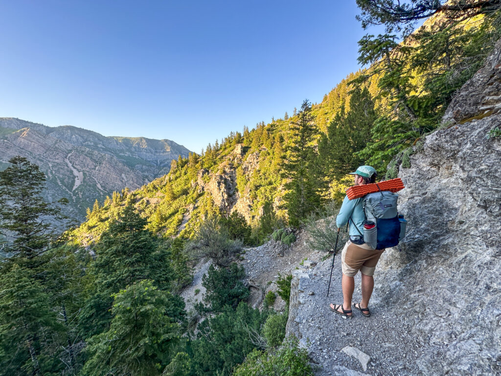
Indian Trail: 4.2 (one-way) or 8.4 Miles (out-and-back)
Challenging but rewarding, Indian Trail is one of our top picks for trails with excellent views, a mix of shade and sun, plenty of steep climbs, even a quick overnight trip close to home (there are campsites near the Kiln Trailhead at the northeastern terminus). Views of the canyon, sunny mountainsides and pops of wildflowers abound along the way, and in the woods toward the Kiln Trailhead there’s even a creek that keeps it cooler in the shade. In the fall there’s plenty of autumn colors, but bring spikes in the winter and consider stopping at the first overlook (one of our faves) 1.2 miles in from 22nd Street Trailhead if you don’t have avalanche gear and/or an ice ax as sections of trail can get sketchy.
This one-way option is best done with a friend who can park their car at one end and shuttle all hikers to the other end, otherwise you’ll be hiking 8.4 miles if you plan to do it as an out-and-back. Alternatively, we love to start at 22nd Street Trailhead and hike up to the first main canyon overlook, then enjoy the view for a while before heading back the way we came. But there are plenty more views to be had if you keep going, so turn around whenever you’ve had your fill.
Bottom Line
There are so many excellent hiking trails in Ogden and its surrounds whether you’re visiting in summer, spring, winter or fall. Every season is magical and if these trails don’t strike your fancy, there are plenty more that will. So lace up those boots or adventure sandals and wander on!