The Best Deals on Camping, Backpacking and Outdoor Gear [June 2025]
Whether you’re in new, unfamiliar territory or your own backyard, we all need a little help locating the best hikes nearby from time to time. Sometimes it’s simply because you want to shake up your typical weekend routes. And sometimes you’re on the search for an epic new adventure. Either way, these 6 apps are the best hiking apps for finding hikes near you–wherever you are! So pick your fave, give it a download, and lace up those boots! It’s time to hit the trail!
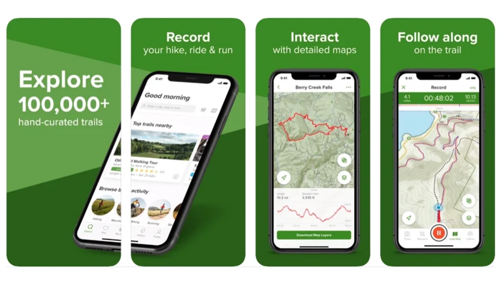
AllTrails
This is usually our go-to when we’re looking for hikes in an unfamiliar area (even near home if we’re looking for new ideas). The app will show you just about every trail nearby, rate the difficulty, offer photos, even let you read what other thought about it. It’s one of the most popular hiking apps for finding just the trail you’re looking for. You can even record your adventures, track your progress, and follow trails via GPS so you don’t get lost. In the paid version, you can download maps, designate contacts to follow along with your progress, even get weather information.
Price: free, Pro version $29.99 annual subscription
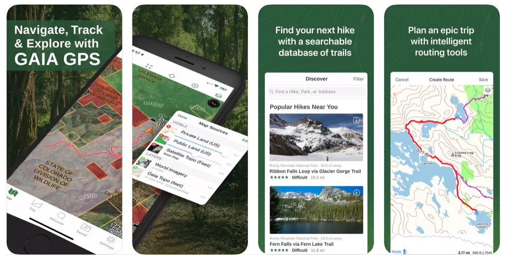
Gaia
We bought the paid version of this app before heading out into the wilderness in Denali National Park where we knew we wouldn’t have any cell service and there weren’t any trails to follow. You can download topo maps, check distance, trails, altitude and elevation change, even weather information. The premium version can also help you find a campsite both in and out of the backcountry with public land maps. It offers all the tools you need to navigate in the woods and wilderness.
Price: $19.99 for member, $39.99 for premium (there’s a free version, but it only comes with non-downloadable default maps)
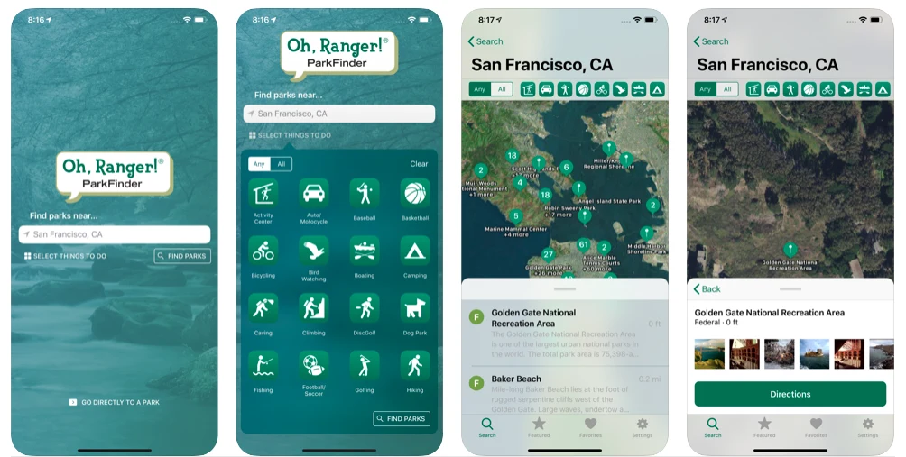
Oh, Ranger! Park Finder
This app does one thing and does it well: locates parks. National parks, state parks, recreation areas, national forests, even local parks all over the U.S. You can filter the results by location, amenities or activity (like hiking), and get park maps and directions. This is an especially useful app if you’re in unfamiliar territory and want to see what your adventure options are across a plethora of natural places and spaces.
Price: Free
Available on IOS
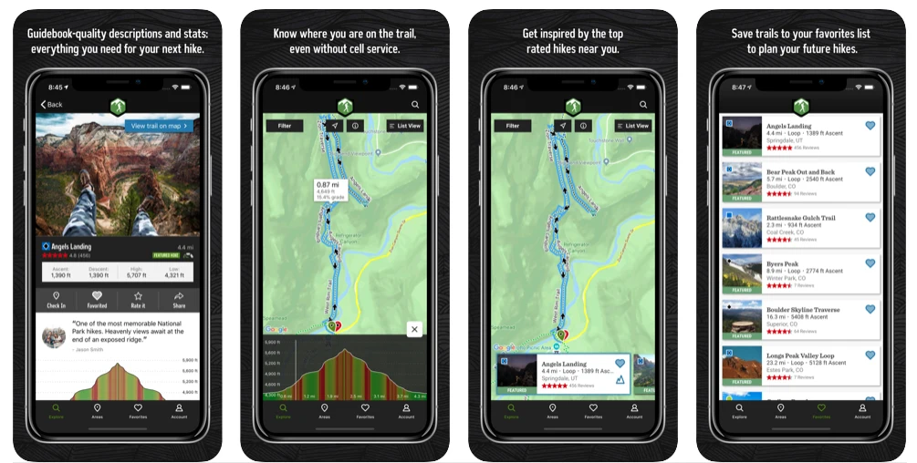
Hiking Project
Courtesy of REI, Hiking Project offers descriptions, stats, photos, and more for hikes all over the country. You can track your progress in the app via your phone’s GPS, save trails to hike another day, and of course, find hikes near you. And yes, you can even download topo maps for offline use. There’s plenty of detailed trail data so you can go prepared.
Price: free
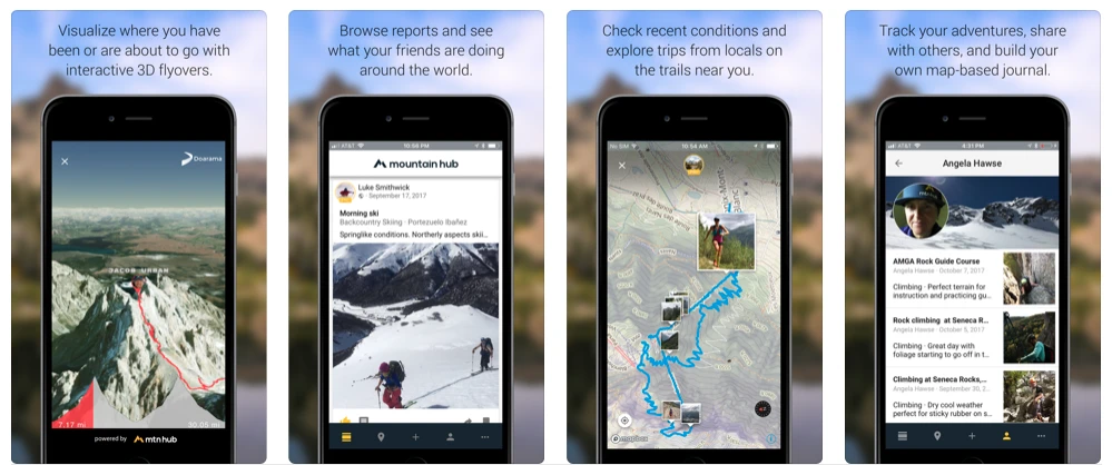
Mountain Hub [No longer available]
This crowd-sourced app is also community-centered, meaning you can not only locate a trail near you, but you can share it with others in your network, leave comments or get updates about current weather or trail conditions, even track your route and get an overview in a Google Earth-like 3D map (so you can see in advance just how gnarly that climb is going to be). You can also download topo maps for use off-grid.
Price: free
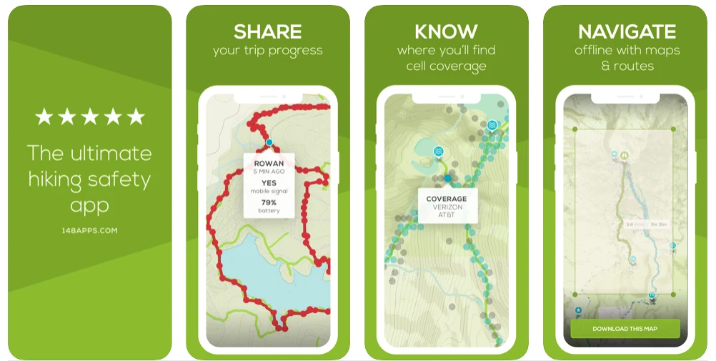
Cairn
Cairn is more about safety than it is about finding sweet new routes, but the app can certainly be used for that, too, so we’re including it. Basically, you can search for a route, download topo maps, see all the trail data you need, then track and share your progress with other users, letting them know where you are and when you’ve made it out safely. Contacts can even track you in real-time, get alerts if you’re overdue, and call the right folks for help if necessary. It also shows you in advance where you’ll have cell coverage. While this feature could be used to post epic Insta photos from the backcountry, we think the photos can wait; the intended use is to show you where you might be able to call for help in an emergency. This one should be a hit with worried moms everywhere.
Price: free (for maps, trails and cell coverage alerts), $4.99 monthly for all features
•
There you have it! The 6 best hiking apps for finding trails to blaze near you, wherever that may be. So find that new trailhead and wander on!
•
Looking for more posts like these? Check out 5 of the Best Travel Apps for Vegans – Vegan Apps for Travel
